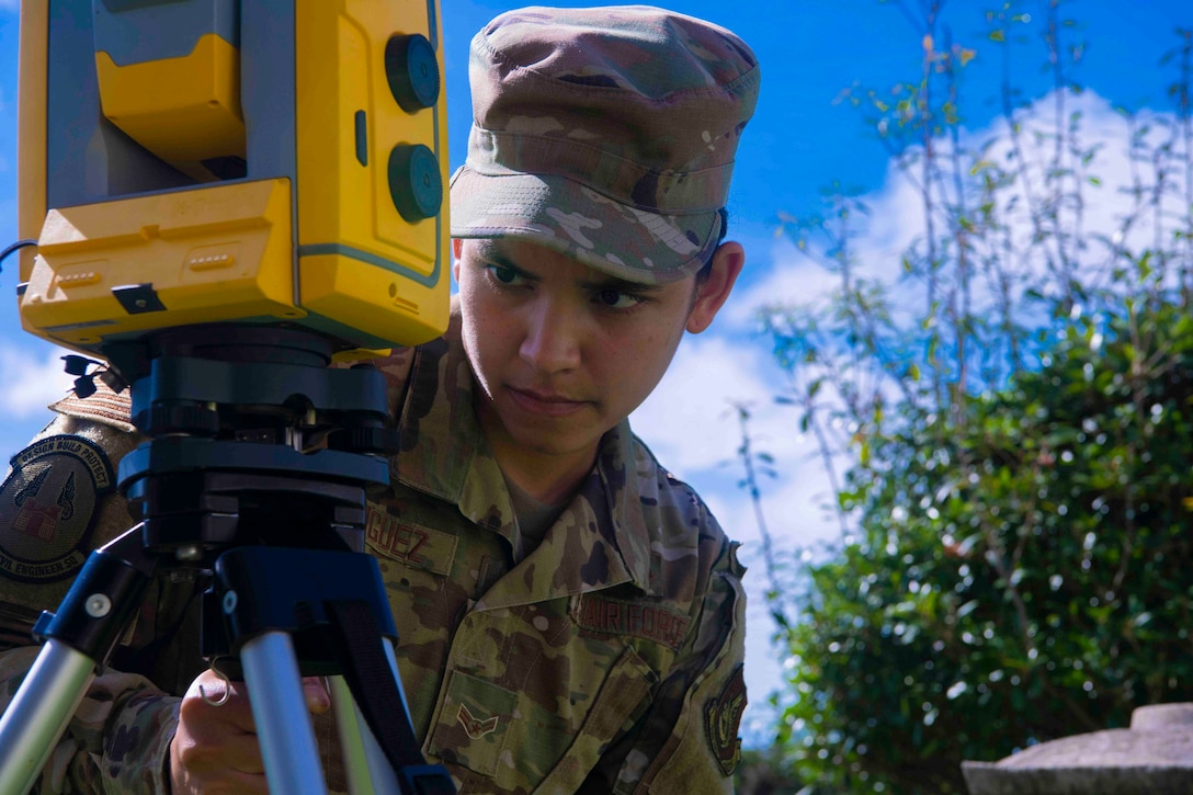
Air Force Airman 1st Class Elizabeth Rodriguez levels a geospatial surveying instrument at Kadena Air Base, Japan, June 9, 2021. The instrument calculates relative distance, direction and elevation — calculations that are then uploaded to update geographical information.


No comments:
Post a Comment