WASHINGTON -- Hurricane Lane was a 130 mph wind speed,
Category 4 storm when it hammered Hawaii’s Big Island with three feet of rain
Aug. 23, but today the once-mighty hurricane has been downgraded to a
much-tamer tropical storm with 65 mph winds.
The National Weather Service said Tropical Storm Lane is
currently moving north-northwest near 3 mph, about 135 miles south-southwest of
Honolulu on the island of Oahu. The storm is expected to make a westerly turn
later today, according to the NWS.
Maximum sustained winds associated with Tropical Storm Lane
remain at 65 mph near the center, according to the NWS. Lane is forecast to
gradually make a turn toward the west this afternoon, passing south of Kauai,
one of the western inhabited Hawaiian Islands.
Federal Support
Earlier this week, President Donald J. Trump authorized that
federal emergency aid be made available to the state of Hawaii to supplement
state and local response efforts due to the emergency conditions in the areas
affected by Hurricane Lane, according to a Department of Homeland
Security/Federal Emergency Management Agency release.
The President's action authorizes FEMA to coordinate all
disaster relief efforts which have the purpose of alleviating the hardship and
suffering caused by the emergency on the local population, and to provide
appropriate assistance for required emergency measures, authorized under Title
V of the Stafford Act, to save lives and to protect property and public health
and safety, and to lessen or avert the threat of a catastrophe. This
declaration is for Hawaii, Kauai and Maui counties and the City and County of
Honolulu.
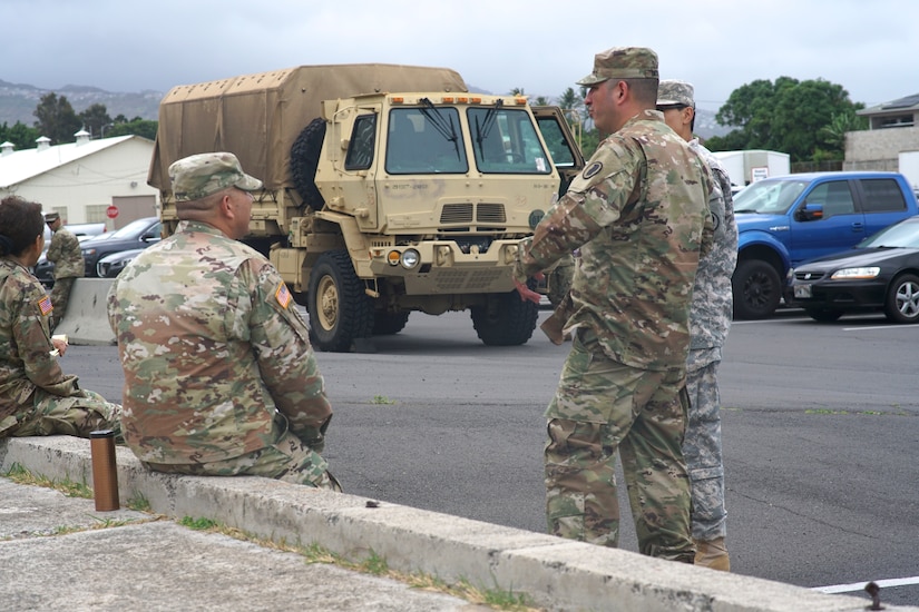
Hawaii earlier this week activated its emergency operations
center, and Hawaii National Guard planners are working there to coordinate
personnel and resources efforts.
National Guard
“The National Guard is ready to support local Hawaii
authorities with search and rescue, debris removal and incident awareness and
damage assessments,” National Guard Bureau officials said in a statement. “If
the National Guard supports storm recovery efforts, the personnel will remain
on duty as long as needed.”
Although Lane will continue to weaken, the threat for flash
flooding remains in the forecast through the weekend, according to the NWS. A
flash flood watch continues today for all the Hawaiian Islands. The wet pattern
will likely hold through the first half of next week across the western end of
the state. A drying trend will gradually fill in from east to west through
midweek.
The latest radar imagery showed the heaviest rainfall
continuing to focus over Maui County and the Big Island this morning, with 1-3
inches of rain per hour expected during the heaviest activity, the NWS said.
Later today through Sunday, the rainfall and flash flooding threat will slowly
shift westward toward Oahu and Kauai.
Next week, trailing tropical rain is forecast to hold over
the western end of the state through the first half of the week as Lane turns
northward well west of Kauai, according to the NWS. This will keep the threat
for heavy rainfall and flooding in place, mainly for Kauai and Oahu. A gradual
drying trend is anticipated from east to west through midweek.
Tropical Storm Lane is forecast to make a turn toward the
west and pass south of Kauai tonight, the NWS said. Heavy precipitation
associated with Lane will continue to fall over the coastal waters, through the
weekend.
Surf will remain elevated along exposed shores through today
as Lane begins to move off to the west, according to the NWS. Heights along the
south shores will likely lower into average range no later than Sunday. East
shores will remain elevated beyond today due to expected strong onshore winds
filling in as Lane exits.

No comments:
Post a Comment